
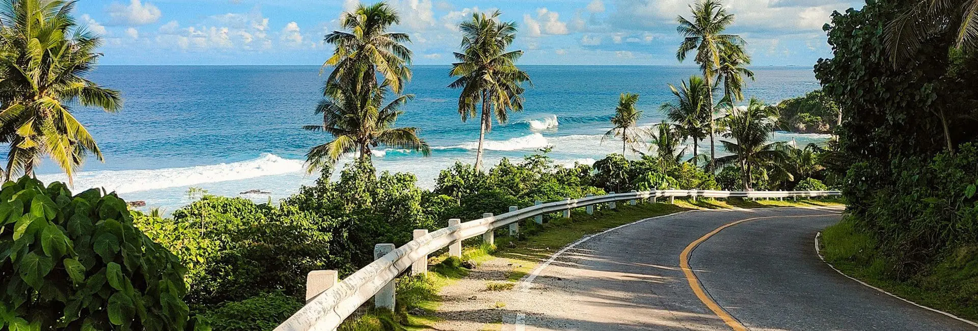
A rental car is the practical way to see Puerto Rico beyond San Juan – here’s the road map. Ready to hit the road? Jump to information about Puerto Rico’s AutoExpresso Toll system.
The Main Arteries
| Highway | Route | Notes |
|---|---|---|
| PR-52 (Luis A. Ferré Expressway) | San Juan south to Ponce | The island’s longest tollway, crossing the central mountains |
| PR-22 (José de Diego Expressway) | San Juan to Hatillo, north coast | Puerto Rico’s most-traveled highway; fastest way west along the north coast |
| PR-2 | Full loop along the north and west coasts | The old coastal highway – slower but passes through actual towns, unlike the tollways |
| PR-3 | East coast route from San Juan toward Fajardo/Humacao | Main road to the ferry terminal and east-coast beaches |
| Ruta Panorámica (PR-143, 144, 149, 105, and others) | A stitched-together mountain route across the Cordillera Central | Puerto Rico’s scenic byway – slow, winding, spectacular; budget a full day, not a shortcut |
AutoExpreso Tolls
Puerto Rico runs an electronic toll system called AutoExpreso across seven toll highways (including PR-52, PR-22, PR-53, PR-66, PR-20, PR-5, and PR-17) with roughly 22 toll plazas. Several major corridors – including PR-52, PR-53, PR-66, and PR-20 – are cashless, AutoExpreso-only lanes. Most rental cars come with a transponder or a pay-later billing arrangement through the rental company; confirm this at pickup, since driving a cashless toll road without one can result in a mailed fine.
Toll rates are adjusted periodically (they rose across the board in January 2026) – check current rates and your rental agreement’s toll billing policy before a long highway drive. Check out Trip Itineraries to plan a driving route or Tour Operators if you’d rather not drive.