Beyond Old San Juan and El Yunque, Puerto Rico has dozens of lesser-visited spots — abandoned attractions, secluded caves, and local-favorite swimming holes — reachable by rental car in a single afternoon. This list covers nine of them, with municipality, access, and parking details for each.
|
SIGHTS |
|
MUNICIPALITY |
REGION |
THE DRAW |
ACCESS POINT INFO |
|
Gozalandia Falls |
|
San Sebastián |
West |
A multi-tier waterfall with a natural swimming pool, far less crowded than El Yunque’s falls and free to enter. |
Route 446, San Sebastián — paid entrance lot (~$10/vehicle); from Rte. 111 turn north onto Rte. 446, cross the large bridge, and continue about 0.6 miles to the gated entrance on the left. |
|
Cueva Ventana |
|
Arecibo |
North |
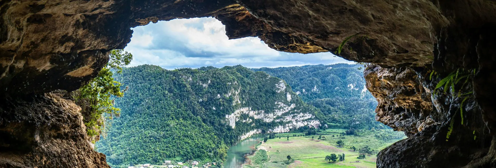
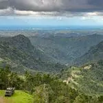
A “window cave” with a dramatic overlook of the Río Grande de Arecibo valley, reached via a short guided hike. |
PR-10, Km 75, Arecibo — trailhead begins near a Puma Energy gas station with a small parking lot. |
|
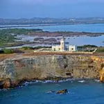
Playa Sucia & Los Morrillos Lighthouse |
|
Cabo Rojo |
West |
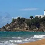
Cliffside lighthouse views over a hidden cove beach, plus nearby pink-tinted salt ponds. |
End of PR-301, Cabo Rojo, through the salt-flats area to the lighthouse and La Playuela cove. Rural coastal road – if gate near the end is closed, walk ~0.7 mi walk. |
|
Barrio Piñones |
|
Loíza |
East |
A coastal Afro-Puerto Rican community just east of San Juan, with beachfront vendors and deep cultural significance. |
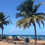
PR-187, Piñones, Loíza is the sole access road through the corridor; the COPI community hub near the Boca de Cangrejos bridge offers informal parking near the beachfront food kiosks. |
|
Jayuya |
|
Jayuya |
Central Mountains |
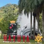
A central-mountain town known for Taíno petroglyph sites and historical heritage attractions. |
Área Recreativa La Piedra Escrita (PR-144, Km 7.7–8) — on-site parking lot next to the boardwalk leading down to the Río Saliente petroglyph rock. |
|
Playa Buyé |
|
Cabo Rojo |
West |
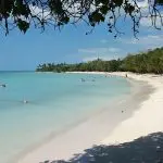
A calm, shallow, and largely local west-coast beach alternative. |
PR-307, Km 4.8–4.9, Cabo Rojo — turn onto Calle Buyé and continue to free roadside parking near the Buyé Beach Resort/campground gate. |
|
Beach at Punta Tuna Nature Reserve |
|
Maunabo |
East |
A beautiful sandy beach on the Caribbean coast with lighthouse views. |
PR-760, Km 0.5, Maunabo — entrance/parking, with the “Casa Verde” visitor center at Km 0.9 and the historic Faro de Punta Tuna lighthouse beyond. |
|
Toro Verde Adventure Park |
|
Orocovis |
Central Mountains |
Zip-lining experiences including “The Monster,” the world’s longest zip line. |
Carr. 155, Km 32.5, Orocovis (official park address; some listings cite Km 33, likely a minor local km-counting difference). |
Most of these require a rental car and reward the extra driving time – pair with a west-coast or south-coast leg of the 7-Day Itinerary.