
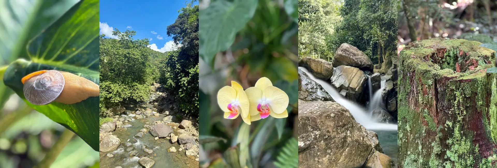
Puerto Rico’s hiking trails range from a 20-minute paved waterfall walk to full mountain-summit routes, crossing rainforest, karst hills, and coastal cliffs. This guide lists them each with trailhead access, Google Maps links, and a difficulty rating. Jump to hiking safety advisory information.
| Trail | Location | Difficulty | Highlight | Trailhead Access |
|---|---|---|---|---|
| La Mina Falls Trail | El Yunque | Easy | Short, partly paved walk to a swimmable waterfall | Starts at the Palo Colorado Information Center (PR-191, Km 12.2). Reported closed for repairs as of mid-2025 — verify current status before visiting. |
| Angelito Trail | El Yunque | Easy–Moderate | Rainforest loop, less crowded than La Mina | Trailhead off PR-988, Km 3.6. |
| El Yunque Peak Trail | El Yunque | Moderate–Strenuous | Summit views over the whole northeast coast | Use Torre Mount Britton Trailhead at PR-191, Km 12.0. |
| Cerro de Punta | Cordillera Central | Moderate | Puerto Rico’s highest point, 4,390 ft | Parking area at PR-143, Km 17.2 (Ponce/Jayuya line), where a steep gravel spur road climbs to the summit — about a 20–30 minute walk, or drivable with 4WD. |
| Toro Negro trails | Toro Negro State Forest | Moderate | Cloud forest, waterfalls, Lake Guineo | Ranger station at PR-143, Km 32.4. |
| Guánica dry forest trails | Guánica State Forest | Easy–Moderate | Coastal dry-forest ecosystem, very different terrain | Main parking/ranger area at PR-334, Km 6, Guánica. |
| Monte Guilarte | Guilarte State Forest | Moderate | Dwarf cloud forest, quieter than Toro Negro | DRNA ranger station at PR-518 & PR-131, Adjuntas. |
| Culebra ridgeline trails | Culebra | Easy–Moderate | Coastal overlooks, connects to Flamenco Beach | Trailhead at the back corner of the Flamenco Beach parking lot (gated access point leading to the Playa Resaca and Carlos Rosario trails). |
Safety Advisory
Trail conditions change fast after heavy rain – flash flooding is a real risk in mountain and karst terrain. Check DRNA/USFS advisories before hiking after storms, and carry more water than you think you need; shade and humidity together cause dehydration faster than the temperature alone suggests.
See State Forests for the full list of protected areas these trails sit inside, and Rivers for the waterways many trails follow.