Puerto Rico is small enough to drive across in a single day, yet it packs a range of landscapes that most countries many times its size lack. Understanding that geography is the key – it explains where the best surf breaks, why one coast stays parched while the other stays soaked, where the rum and coffee traditions took root, and, for anyone thinking about moving here or investing here, how the climate zones differ by region.
In roughly 100 miles east to west and 35 miles north to south, the island moves from cloud forest to near desert, from limestone hill country to some of the deepest ocean on Earth. Think of the island as four distinct landscapes layered on top of one another: a mountainous spine, a band of dissolving limestone, a coastline that behaves very differently from north to south, and, just offshore, a hidden ocean trench. Learn these four, and Puerto Rico stops being a single beach destination and starts making sense as a place.
The Mountainous Spine
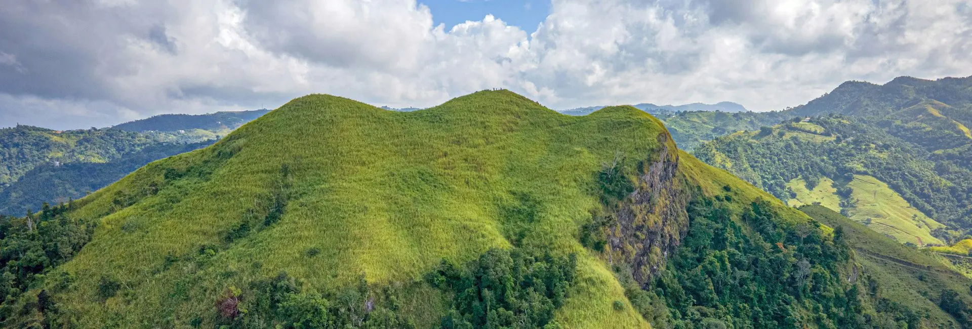
More than 60 percent of Puerto Rico is mountainous, and those mountains are not a backdrop. They are the engine that drives the island’s weather, its agriculture, and much of its cultural identity. These highlands are more than scenery. Their elevation gave Puerto Rico its historic coffee industry, still alive in towns like Adjuntas, Jayuya, Utuado, and Maricao. Their cool nights and cloud cover create pockets that feel almost temperate. And their sheer bulk casts the rain shadow that defines the entire southern half of the island. Four ranges make up the highland interior.
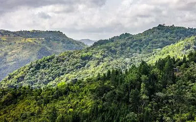 The Cordillera Central is the largest and the true backbone of the island, running roughly from Caguas in the east toward Lares in the west. It crests at Cerro de Punta, which reaches about 4,390 feet (1,338 meters) and stands as the highest point in Puerto Rico. On a clear morning from the summit you can see both the Atlantic and the Caribbean at the same time, a reminder of just how narrow the island really is.
The Sierra de Cayey rises in the southeast, a cooler, misty range that has long been associated with coffee country and small mountain towns.
The Sierra de Luquillo in the northeast is home to El Yunque National Forest, the only tropical rainforest in the United States Forest Service’s National Forest System. 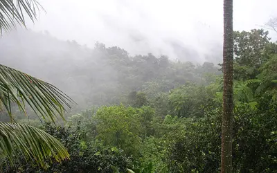 It intercepts the moist trade winds first, which is why it is drenched with rain and cloaked in green year-round.
The Sierra de Bermeja in the southwest is far older and far more worn down, considered among the most ancient rock formations on the island. Low and dry, it feels like a different world from Luquillo just a couple of hours away.
Karst Country
Across the northern third of the island runs one of the most dramatic and least expected landscapes in the Caribbean: a broad belt of karst, where ancient limestone has slowly dissolved over millions of years into a maze of hills, hollows, and caverns. The belt stretches from the Aguadilla area in the west toward Loíza just east of San Juan.
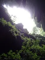 Karst produces a signature look. Mogotes, the rounded haystack hills that seem to erupt straight out of flat valleys, are the calling card of the region around Arecibo, Camuy, and Lares. Between and beneath them lie sinkholes, underground rivers, and enormous cave systems, the most famous being the Río Camuy Cave Park, one of the largest cave networks in the Western Hemisphere, carved by one of the largest underground rivers in the world. Along the north coast, the same limestone forms sheer cliffs and blowholes where the Atlantic meets the land.
For visitors, karst country means caving, hiking, and some of the island’s most photogenic countryside. For anyone studying the land itself, it is a reminder that Puerto Rico’s north is porous and water-rich, honeycombed with the aquifers that supply much of the island’s fresh water.
Coastlines and Beaches
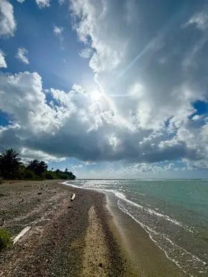 The same forces that shape the interior shape the shoreline, and Puerto Rico’s coasts are not interchangeable. The north and west face the open Atlantic and receive the consistent swell that made Rincón and the northwest corner a world-class surf destination, especially from late autumn through early spring. The east shelters calmer, reef-protected waters and the departure points for the outer islands. The south, along the Caribbean, tends to be flatter, warmer, and clearer, ideal for snorkeling and easy swimming. Reading the coast this way helps every kind of traveler pick the right base for the right activity, in the right season.
Bioluminescent Bays
Puerto Rico is home to three reliably bioluminescent bays, among the very few places on Earth where the phenomenon can be seen dependably rather than by luck. Mosquito Bay (Bahía Mosquito) on the island of Vieques is recognized by Guinness World Records as the brightest bioluminescent bay in the world.
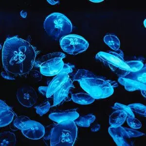 Laguna Grande in Fajardo, on the northeast coast, is the most accessible from the San Juan metro area. La Parguera in Lajas, on the south coast, has historically been the only one of the three where swimming was permitted, though access rules can change with conservation policy, so confirm the current status before you go.
The glow comes from microscopic single-celled organisms called dinoflagellates, which flash a cold blue-green light when the water around them is disturbed. Paddle a kayak, trail a hand, and the water lights up in your wake. The effect is at its most spectacular on a moonless night, away from city light, which is exactly why guided kayak tours schedule around the lunar calendar. These ecosystems are fragile, and protecting the surrounding mangroves is what keeps the bays glowing, a conservation story that matters as much as the spectacle itself.
The Puerto Rico Trench
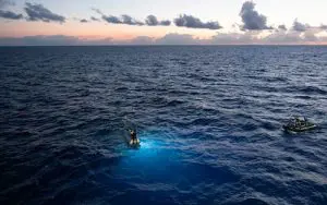 Some of the most dramatic geography around Puerto Rico is one you will never see. About 75 miles north of the island lies the Puerto Rico Trench, formed at the boundary where the Caribbean and North American tectonic plates grind past and beneath one another. It is the deepest point in the entire Atlantic Ocean, plunging to roughly 27,500 feet (about 8,380 meters) at a spot known as the Milwaukee Deep.
This is not trivia. The same plate boundary that carved the trench also makes the region seismically active, which is why building standards, insurance, and site selection are genuine considerations for expats and investors, not afterthoughts. The trench is also central to scientific study of tsunamis and deep-sea life, and it anchors Puerto Rico’s outsized role in ocean and space research.
Climate Zones
Because the mountains sit across the middle of the island and the trade winds blow in from the northeast, Puerto Rico’s weather is not uniform. The moist air hits the north and northeast first, dumps its rain there, and arrives on the far side dry. The result is four broad climate zones packed into a very small space.
| Zone | Character |
|---|---|
| North & northeast coast | Wetter, more rain year-round, lush green karst and rainforest |
| South & southwest coast | Rain-shadowed by the central mountains – noticeably drier, near-desert around Guánica |
| Central mountains | Cooler temperatures, cloud forest conditions at elevation (Toro Negro) |
| Islands (Vieques, Culebra) | Drier and breezier than the main island’s north coast |